Ground Penetrating Radar Surveys
GPR SURVEYS

VOID SURVEYS
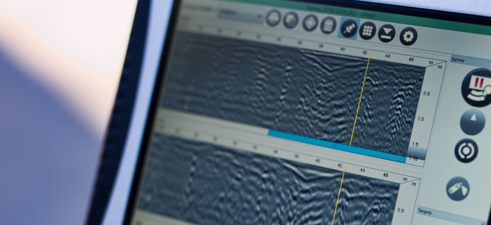
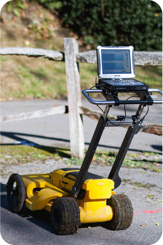
Subsurface voiding and the potential hazards that result can be detected and mapped utilising different Ground Penetrating Radar antennae, whether it’s buried culverts, underground tunnels or badger setts, we can help.
REINFORCED CONCRETE MAPPING
We can detect and map the position and depth of reinforcement bars (rebar) buried within concrete roads and structures. This information can prove critical when carrying out strength/load assessments or planning borehole locations.
CELLARS/BASEMENTS, BURIED TANKS AND OTHER SUBSURFACE FEATURES
These buried features can cause their own problems if not located and mapped prior to site works. Not knowing where these potentially dangerous hazards are during groundworks, piling or lifting operations could cause delays or create an unacceptable risk to your project.


